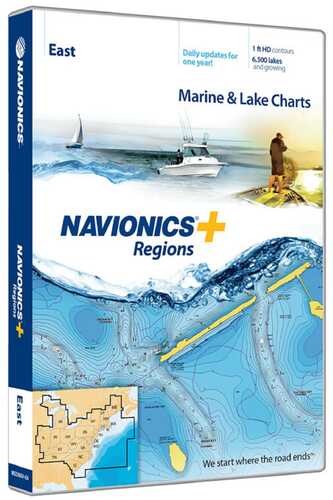
Navionics Regions-East Region MSD/NAV+EA
Navionics+ Regions is a powerful electronic chart solution providing exceptional regional marine and lakes content. Get detailed Nautical Chart, SonarChart 1 ft HD bathymetry map, and Community Edits plus daily updates for one year! Includes full marine coverage and more than 6,700 lakes in CT, DE, IL, IN, KY, MA, MD, ME, MI, NC, NH, NJ, NY, OH, PA, RI, SC, TN, VA, VT and WV, plus US waters of the region?s Great Lakes. Nautical Chart and SonarChart are preloaded. Simply plug your card into your PC/Mac to download the most updated charts and Community Edits anywhere within the entire region. 16 GB card and USB reader included.|.24|7.5|5.5|1|Preloaded with nautical charts|One foot contours|Daily updates available free for one year|Includes over 6,700 lakes in CT, DE, IL, IN, KY, MA, MD, ME, MI, NC, NH, NJ, OH, PA, RI, SC, TN, VA, VT, and WV|US Waters of the region's Great Lakes and full coastal coverage are also included|||T|***WARNING: This product can expose you to chemicals including lead or DINP, which is known to the State of California to cause cancer and birth defects or other reproductive harm. For more information go to www.P65Warnings.ca.gov.***
Munufacturer: Navionics
Model: MSD/NAV+EA
SKU: SI_4013883
There are no reviews yet for this item.


