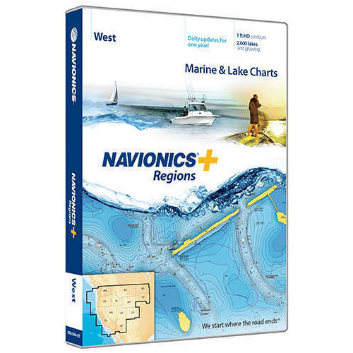
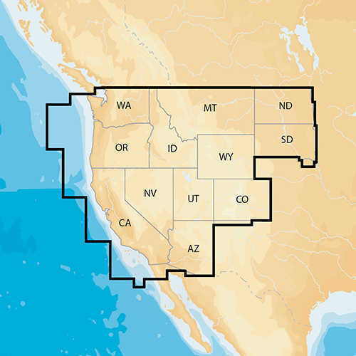
Navionics+ Regions - West - Preloaded MSD FormatMarine and lake chartsOne foot contoursDaily updates and advanced features for one yearBoat safer and fish smarter. Max-detailed cartography for marine and lakes that is updated daily, makes Navionics+ the perfect choice for cruising and fishing. Get Nautical Chart, the most accurate navigational data; SonarChart™, an exclusive 1 ft HD bathymetry map; and Community Edits, local content from the community. Daily updates and advanced features are included for one year. Simply plug your card into your PC/Mac and register at navionics.com. USB reader provided.Preloaded with Nautical Chart and SonarChart™; Community Edits are downloadableEnjoy advanced features: SonarChart™ Live, Advanced Map Options and Plotter Sync.Enhance SonarChart™ with sonar logs you collect.NAV+WE: West Coverage DetailsAZ, CA, CO, ID, MT, ND, NV, OR, SD, UT, WA and WY2,700 lakes and growingFull marine coverage and Canadian waters of Puget SoundCheck out Navionics Compatibility Guide.
There are no reviews yet for this item.


